
Monitor
A live picture of the whole network
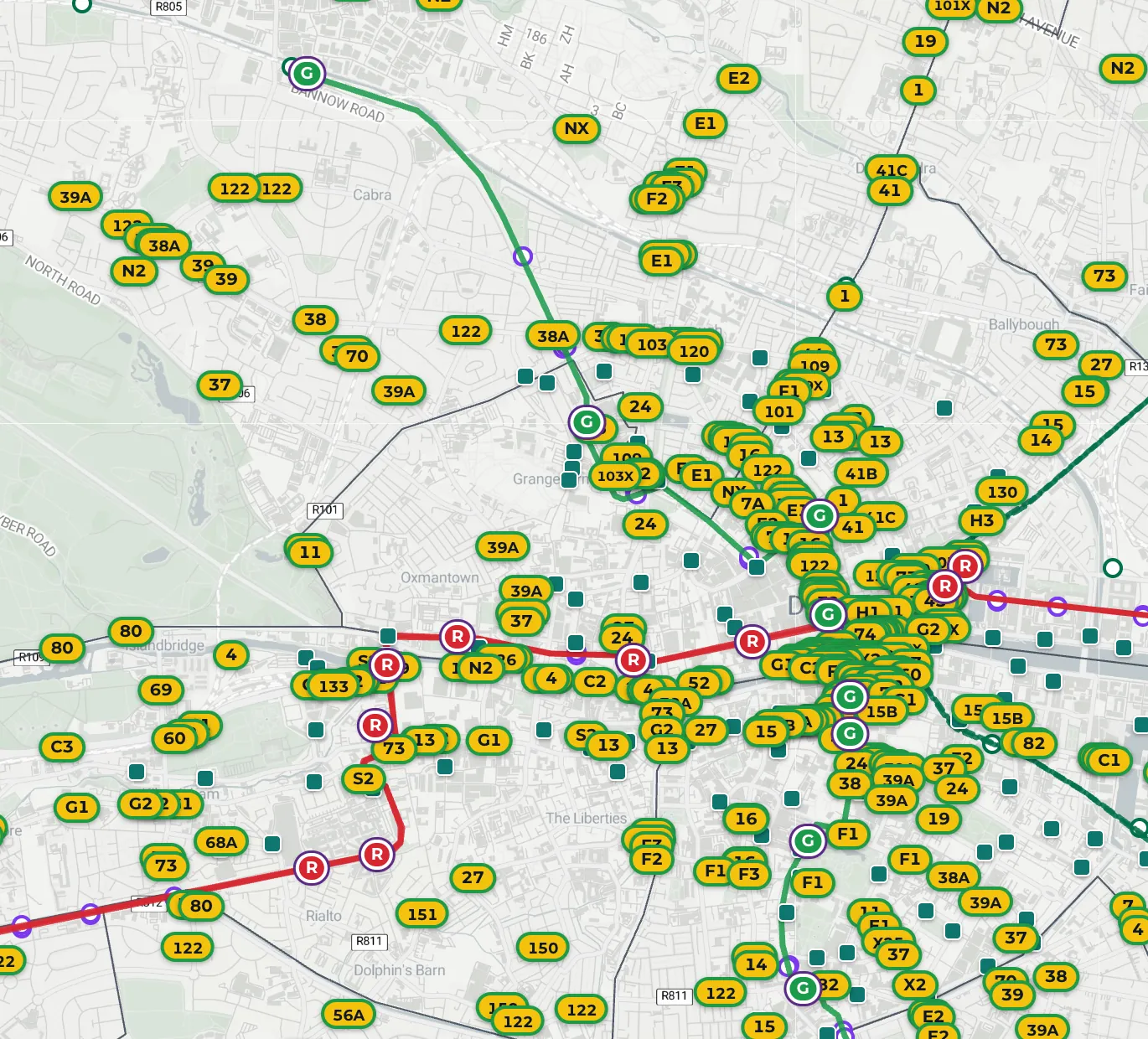
Vehicles on the street, buses and trams in service, and where each one is right now. Positions and status refresh continuously from operator and authority feeds.
Mobility intelligence for cities and transport authorities
Traxa is the independent platform that shows how every mode on your network is performing. Monitor shared bikes and e-scooters alongside buses, trams and rail, measure operators against the terms you set, and evidence compliance in one place.
The platform
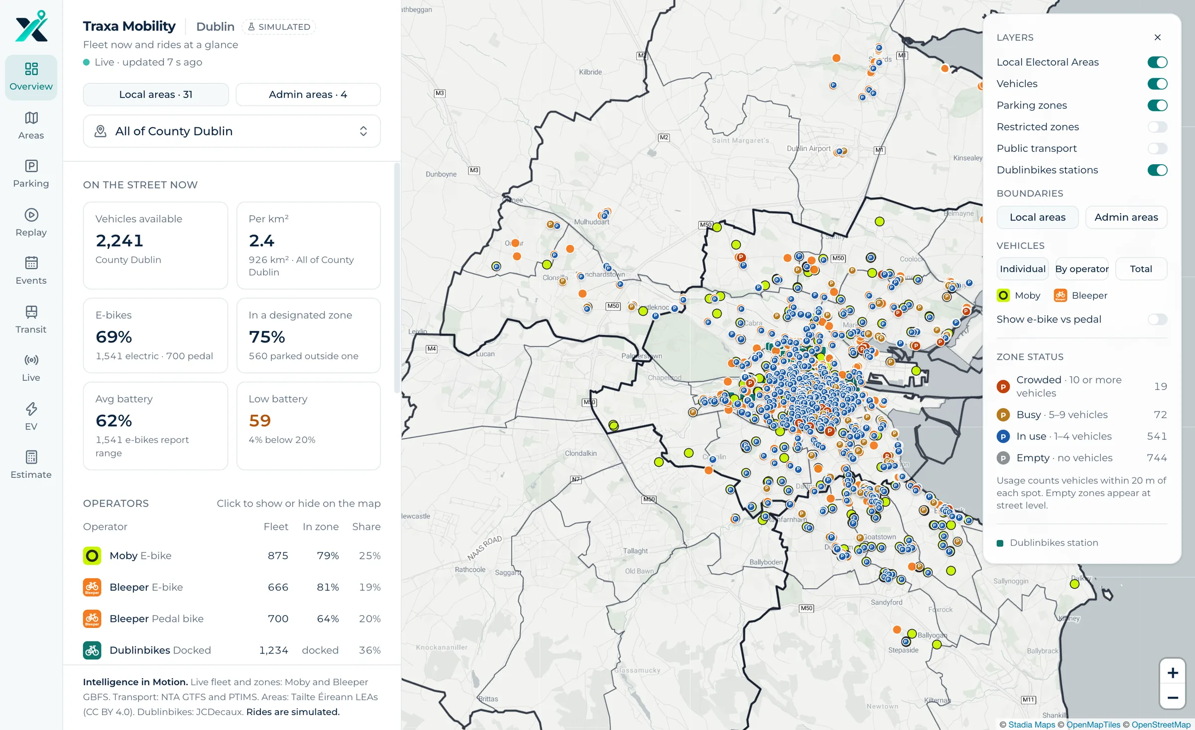
Operators report on themselves. Traxa gives the authority its own view, built from the same data for every operator and every mode, so decisions rest on figures everyone can check.
Monitor
Vehicles on the street, buses and trams in service, and where each one is right now. Positions and status refresh continuously from operator and authority feeds.
Coverage
Micromobility is where Traxa started. It now covers the full network.
Compliance
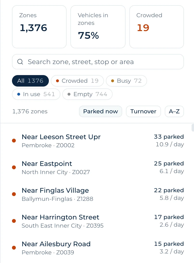
See what share of vehicles is parked in a designated zone, which zones are crowded, and how that differs by operator and by area.
Measure
Report by operator, area and period, with one definition of each measure applied to everyone. Compare this month with last, one district with the next, weekdays with weekends.

Safer, cleaner and more liveable urban spaces.
Integrate
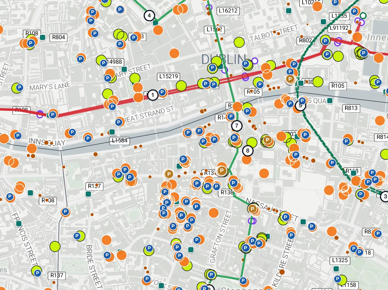
See where shared bikes feed a station, fill a gap in the network or run alongside a route.
Traxa does not operate fleets or sell rides. Every operator is measured on the same data with the same method, so the figures hold up in a permit review or a contract meeting.
Traxa reads the feeds operators and transport authorities already publish. There is nothing to fit to a vehicle and nothing new for an operator to build.
Approach
Real-time visibility of the network: every vehicle, every zone, every service.
Performance, usage and impact, reported the same way for every operator.
Compliance, operator permits and city agreements, backed by a clear record.
Safer, more efficient and more sustainable streets, planned from evidence.
Who it's for
Oversee operator permits, parking and the use of street space, with evidence behind each decision and each conversation with residents.
Understand how shared mobility, bus, tram and rail work together across the network, and where the gaps are.
Work from the same figures as the authority. A shared record of performance makes reviews shorter and renewals simpler.
Ask for a walkthrough of the platform with your team, or log in if you already have an account.